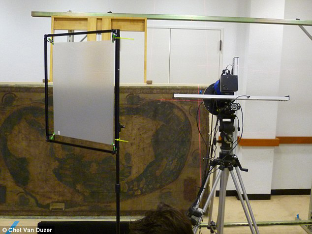
The image and slider below depict the Martellus Map (Beinecke Library Art Storage 1980 157) before and after multispectral imaging.
In the frame below, the image on the left shows the map as it appears in natural light. The image to the right of the slider shows the same map as it appears in the processed multispectral images. The Lazarus Project collaborated with EMEL, RIT, Megavision, and the Beinecke Library to image this document. Chet Van Duzer recently published a new book on the subject.


